For the uninitiated, here is the short version of how geocaching works. A person goes to www.geocaching.com, types in their zip code (or the zip code where they want to go geocaching) and find the GPS coordinates where a cache is hidden. Using the provided map, you drive to where the cache is, park your car and use your GPS unit to get to the coordinates. Once you reach the coordinates, you are close to where the cache is found (close because most GPS handheld units are accurate anywhere from 3 to 30 feet). A typical cache is some sort of container which contains a log book for people to sign who find the cache and maybe some trinkets. You bring a trinket and trade for one in the container if you want. The cache Randy and I hunted today was a multi-leg cache. On a multi-leg cache, you find the first cache, and all it contains is the coordinates to the second cache which has the log book, etc.
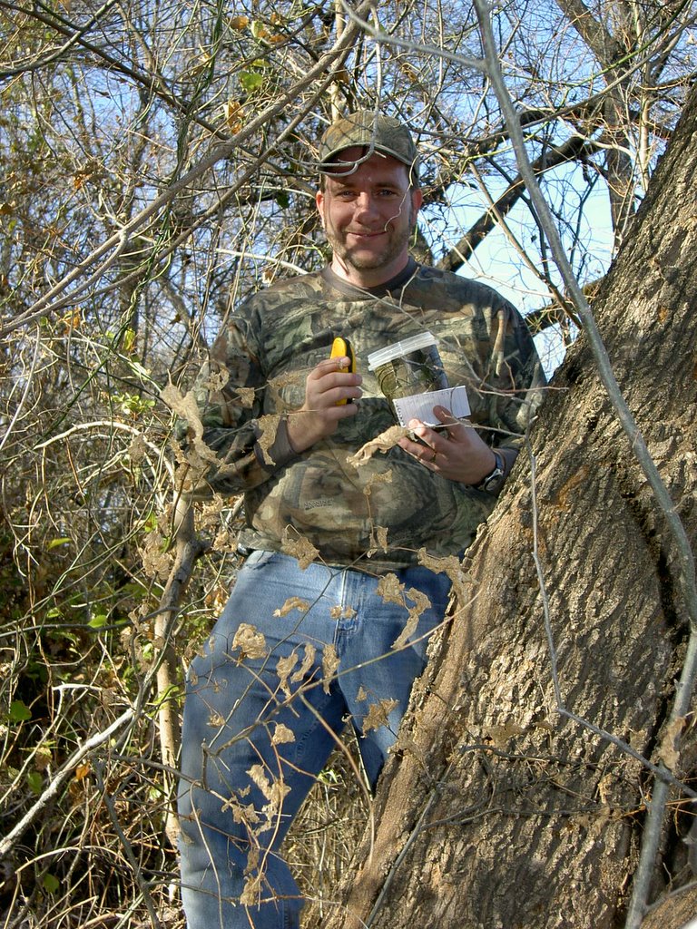
 Randy ran through some bushes and came out
with these bugs all over him!
Actually, they were burrs, but they look like
some sort of bug, don't they!
 Today's cache was a multi-leg. Here's the first cache I found
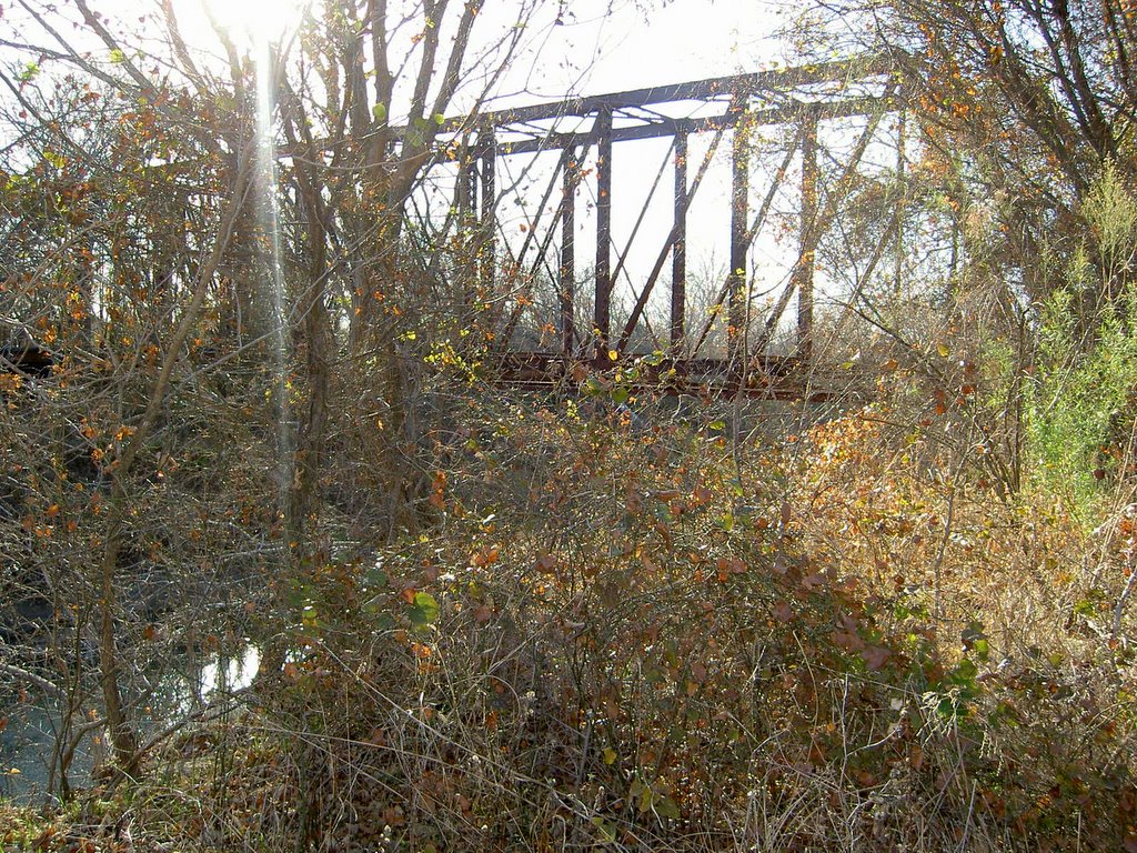 The first part of the cache was on one side of the river.
The second part was on the other side...
we had a choice.
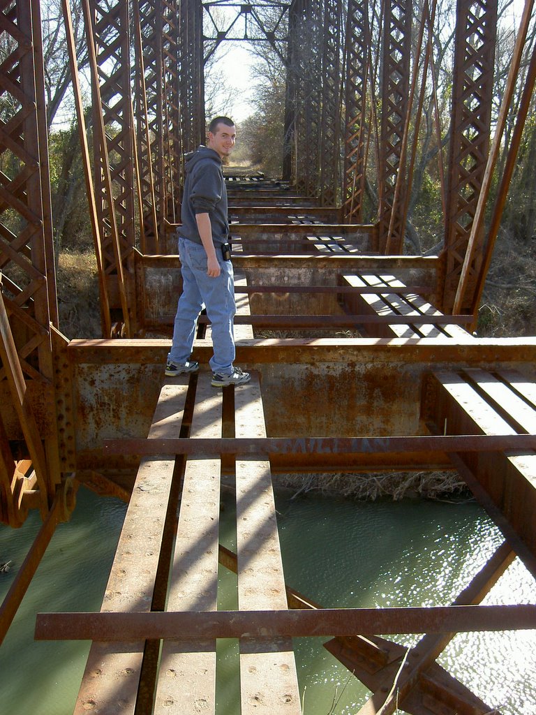 The cache logs said something about a "dangerous part"
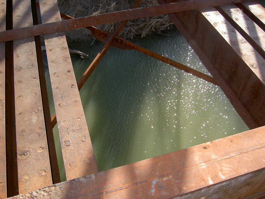 Guess we found out what "dangerous" meant
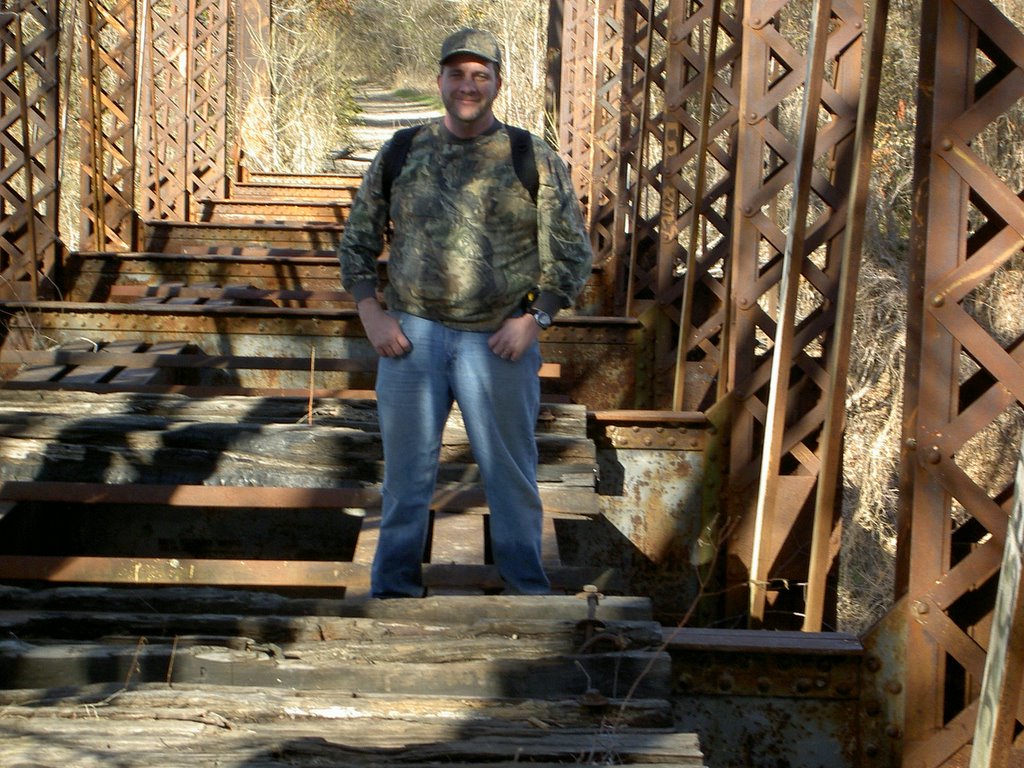 Whew! We made it across
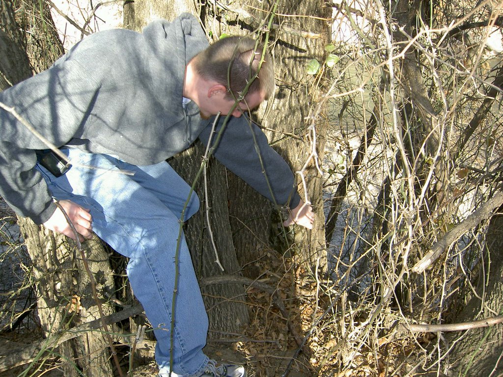 Randy found the second part of the cache
 Randy signing the log for both of us
No comments:
Post a Comment